


Government
Facility, public-area, identity, vehicle, crowd, perimeter, safety, and investigation intelligence.
View use cases
Combine PreCog modules around each environment—from perimeter and safety intelligence to mobility, agriculture, identity workflows, search, and multi-site awareness.

Facility, public-area, identity, vehicle, crowd, perimeter, safety, and investigation intelligence.
View use casesAerial awareness, perimeter protection, remote sites, critical assets, and multi-camera operations.
View use casesPlants, weeds, crop stress, remote operations, product classification, and quality workflows.
View use casesVehicle identity, flow, congestion, occupancy, queues, crowds, and hub intelligence.
View use casesPPE, falls, assets, theft, zones, vehicle movement, and operational event awareness.
View use casesPerimeters, remote assets, multi-site alerts, search, dashboards, and governance.
View use cases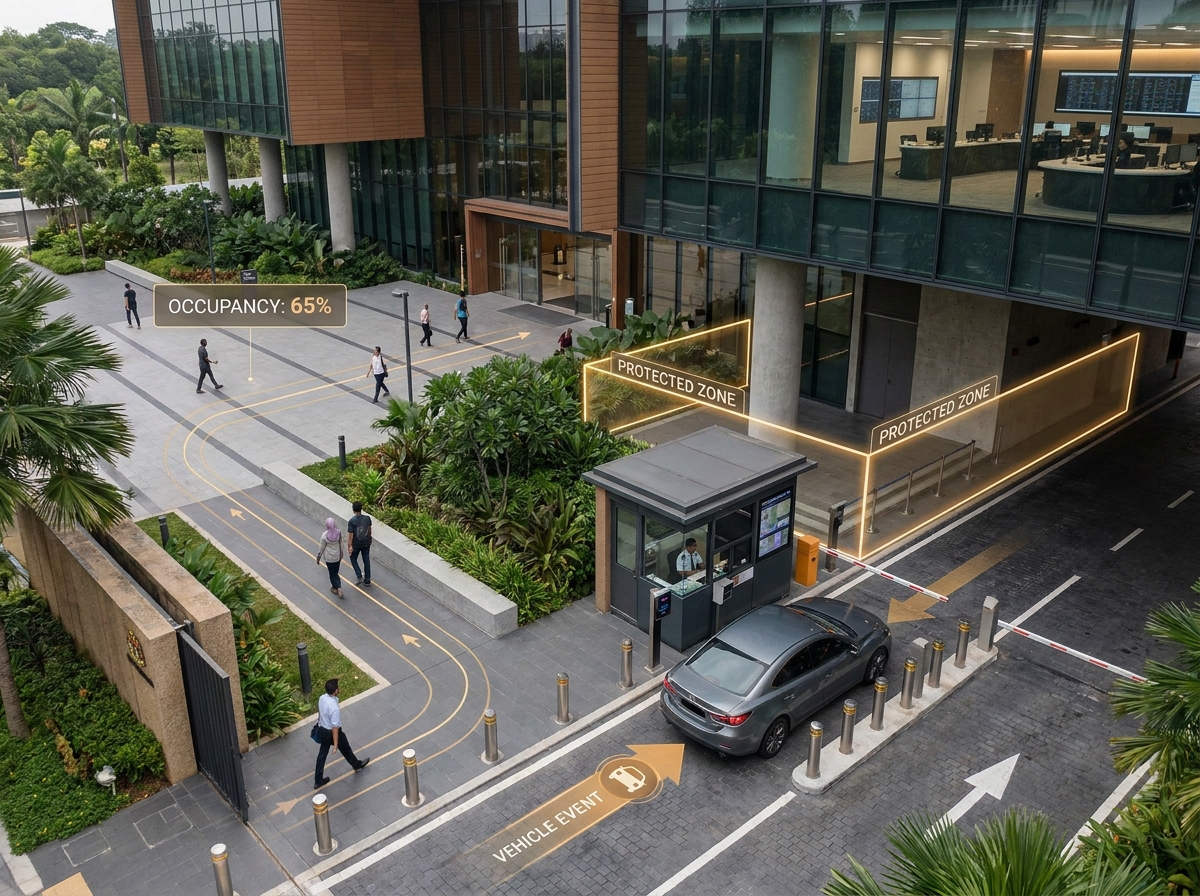
Support authorized agencies with visual intelligence across facilities, public areas, secure access points, transport environments, and operational command centers.
Perimeter, crowd, occupancy, abandoned-object, safety, and automated event intelligence.
Authorized verification support, watchlists, license plate events, secure-site access, and investigations.
AI-assisted monitoring, real-time alerts, multi-camera intelligence, and unified dashboards.
Configured restricted zones, safety equipment, controlled areas, and facility operating rules.
Identity and public-area deployments require purpose-specific authorization, governance, privacy, retention, and legal review.
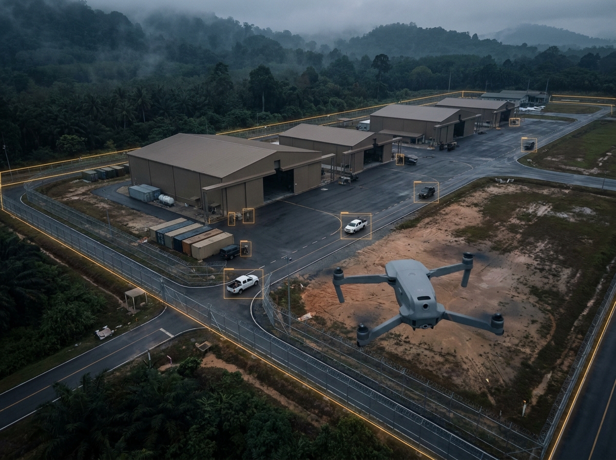
Support approved aerial, perimeter, remote-site, and mission-critical awareness workflows.
Apply computer vision to visible agricultural conditions and remote operations with standard and custom AI models.
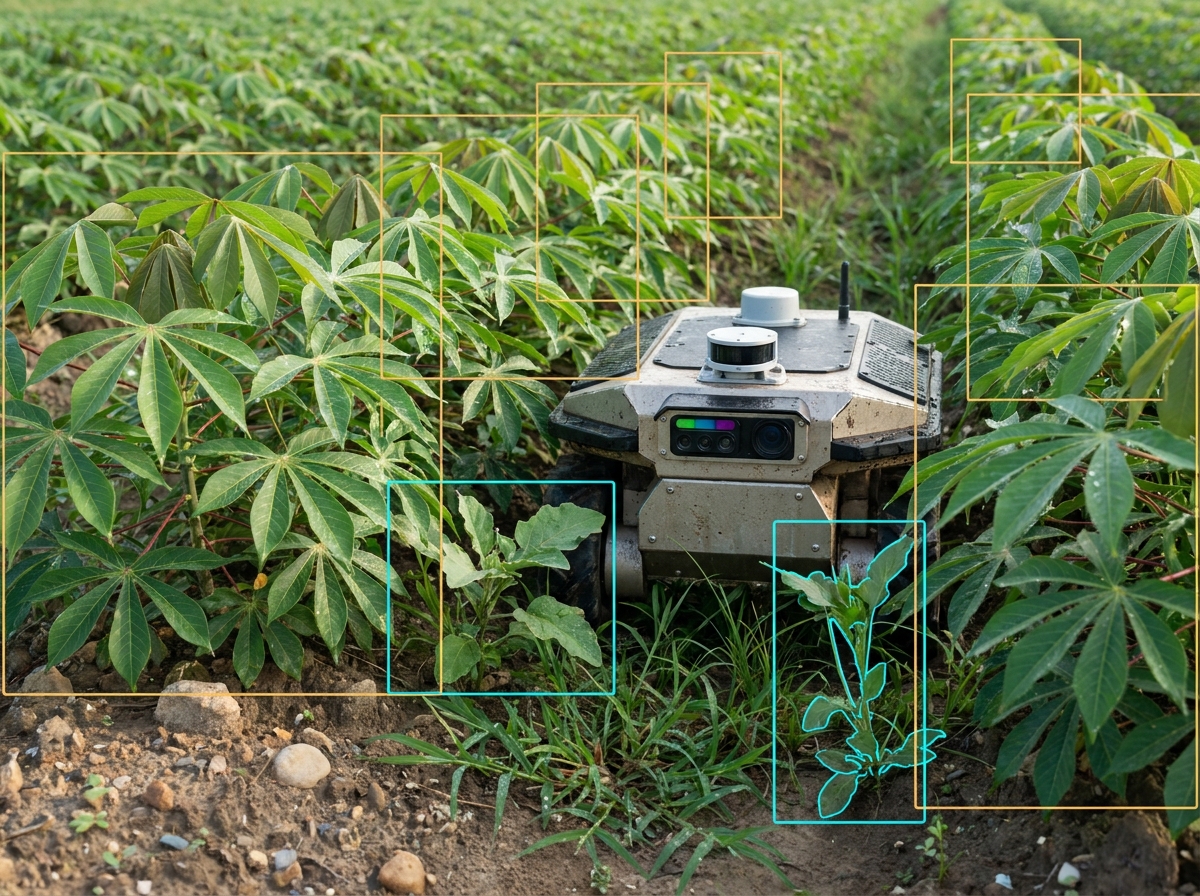
Support plant classification, weed detection, vegetation monitoring, and field inspection.
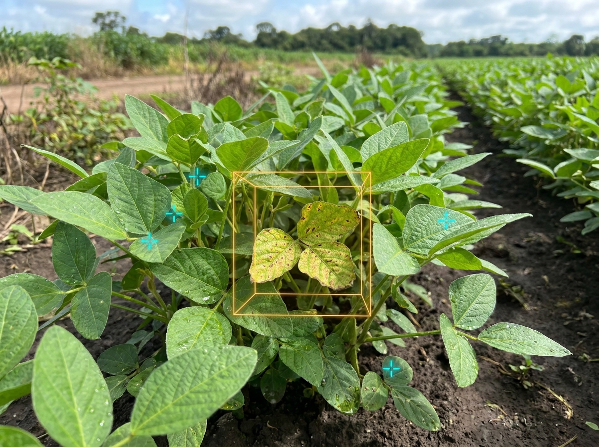
Identify visible indicators associated with stress, leaf condition, abnormal growth, or disease.
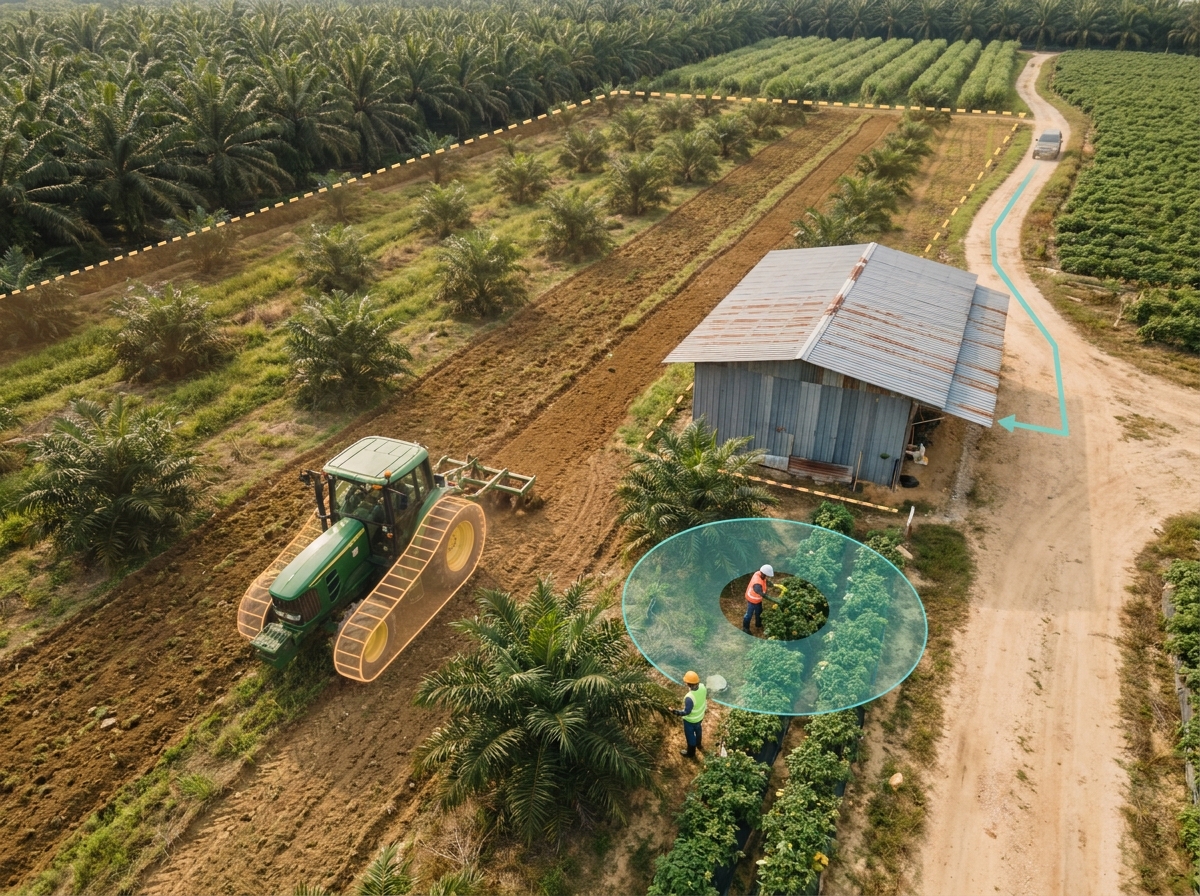
Monitor field activity, equipment, remote areas, worker activity, and site security.
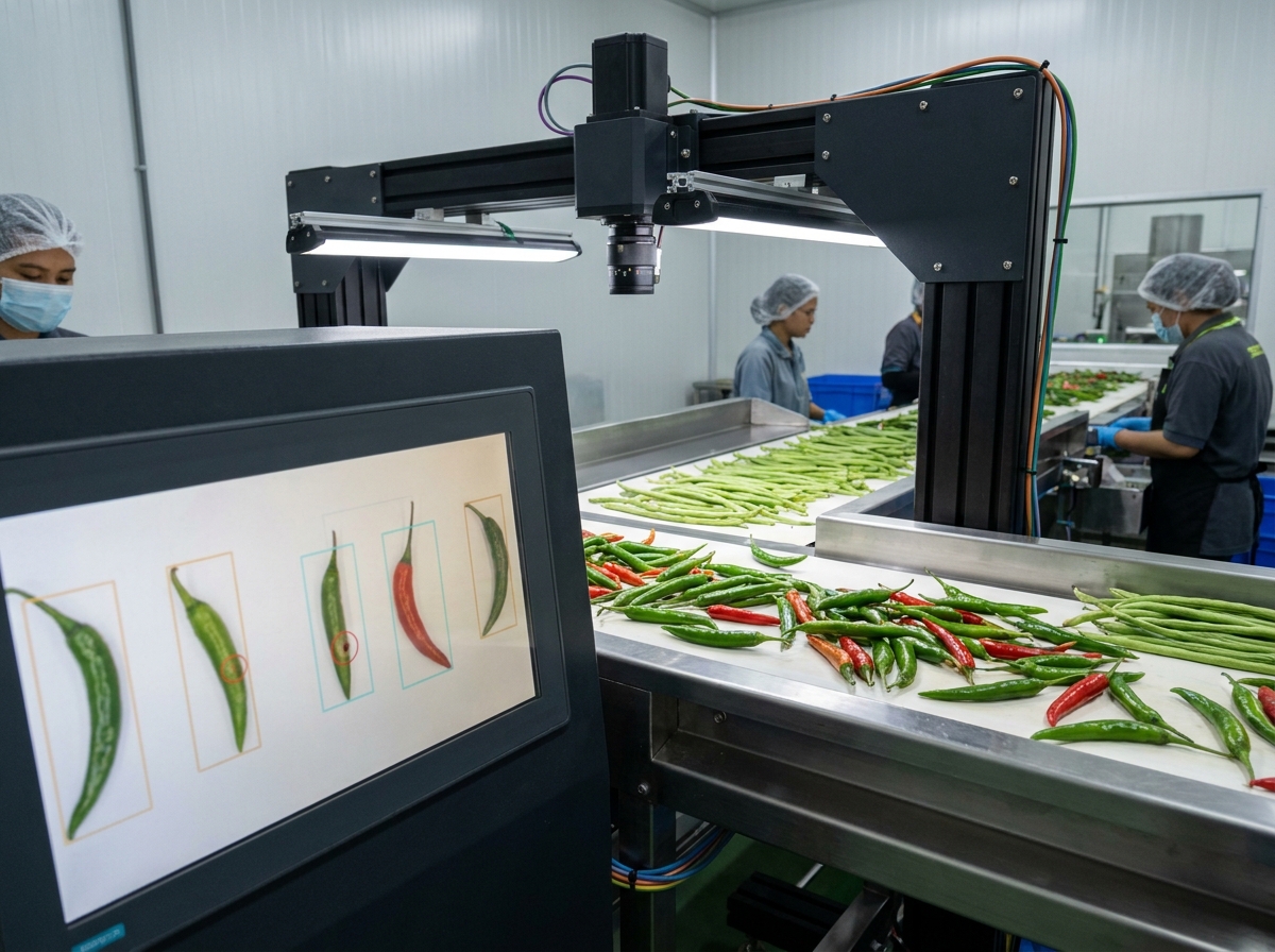
Support sorting, harvest classification, visible quality inspection, segregation, and defect identification.

Combine video intelligence across yards, warehouses, production areas, loading zones, and restricted facilities.
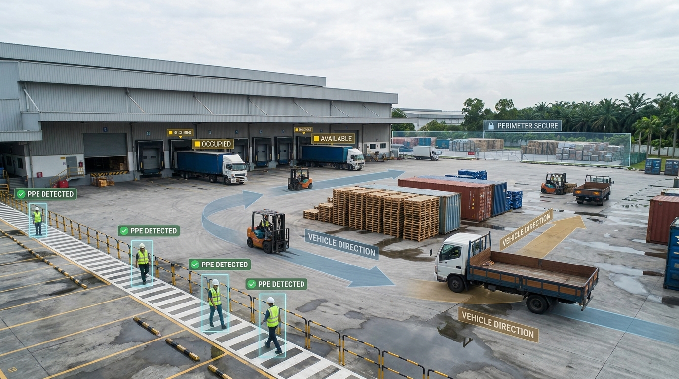
Configured PPE, falls, high-risk zones, visual fire/smoke awareness, and compliance trends.
Object presence, removal, displacement, restricted storage, after-hours activity, and evidence.
Vehicle flow, gates, entries, exits, operational zones, people movement, and occupancy.
Visual fire and smoke intelligence complements, and does not replace, certified fire detection, alarm, and life-safety systems.
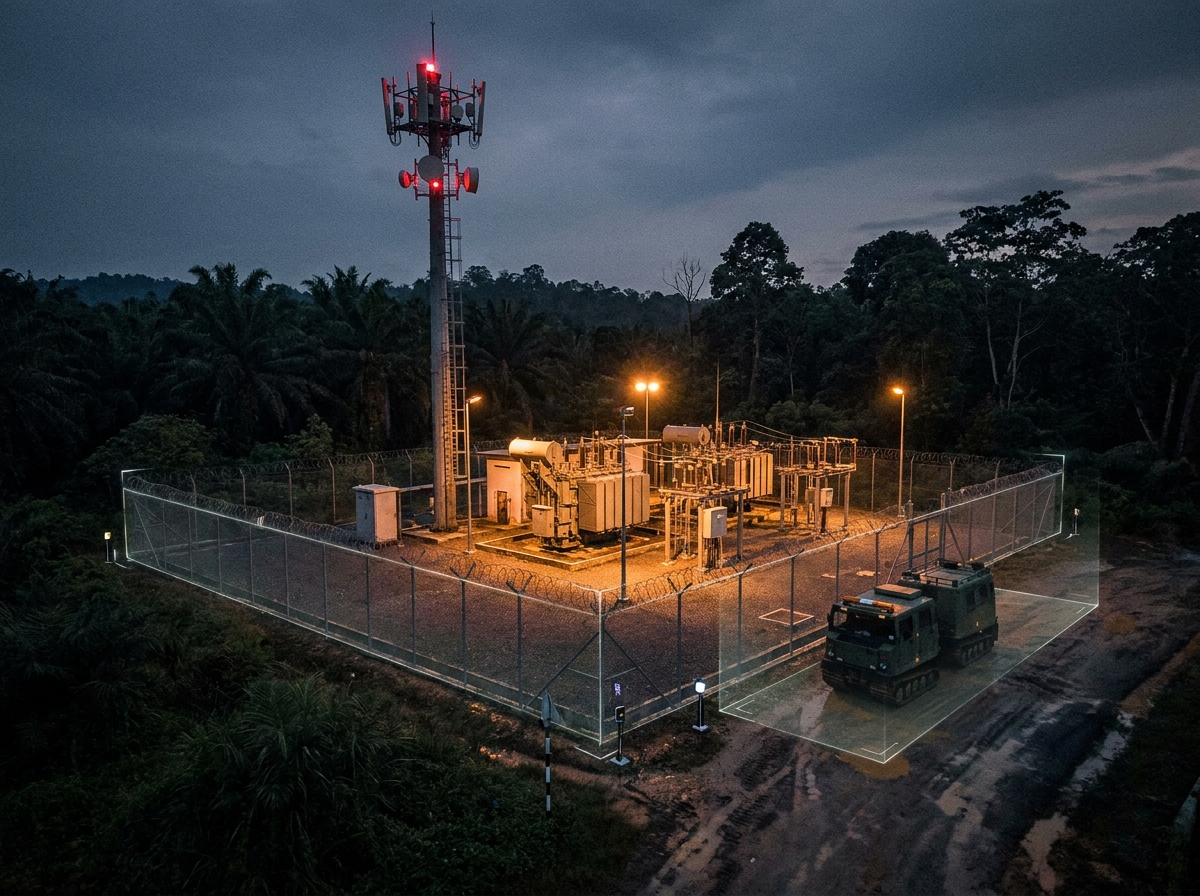
Flexible edge, on-premises, cloud, and hybrid architecture can be evaluated around restricted networks, resilience, bandwidth, privacy, and data-control needs.
Bring people, space, safety, security, and investigation intelligence into one operating view.

Measure entries, exits, zones, queues, movement patterns, and facility utilization.
Understand crowd size, density, formation, movement direction, and configured thresholds.
Support authorized access workflows, perimeter events, abandoned objects, and asset protection.
Search event metadata, review snapshots, identify related events, and export authorized evidence.
Tell us about your environment, the events that matter, and how your teams need to respond. We’ll help map the right modules and deployment approach.